British Columbia is currently experiencing severe flooding. It seems that every 40 or 50 years the Fraser, and smaller rivers that flow into it, flood their banks and wipe out roads, bridges, houses, and farm land.
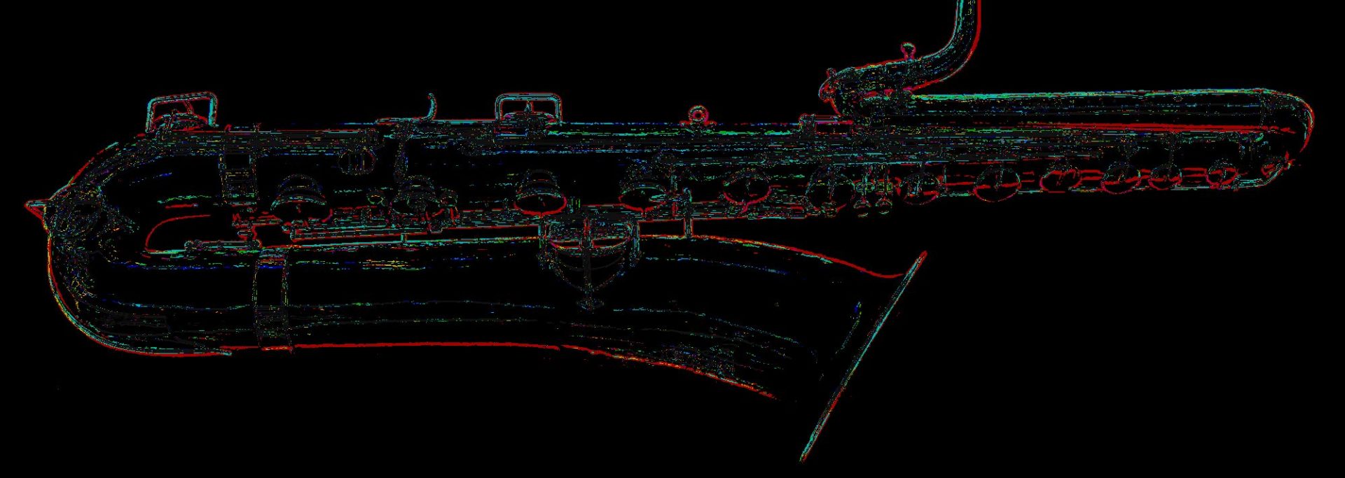
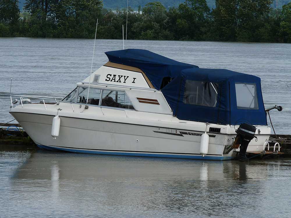
On Saturday we went down to the Fraser River to see what the Mission Flood Gauge was reading. While walking along the park’s walkway, I happened to see this boat tied up in the Mission marina. What do you think, is the owner a sax player?
Photo by H. Kahlke
Maybe the guy who put the name on it got the second letter wrong? 😉
Our house is nowhere near the river, and we’re also up on a hill, so the flooding and severe downpours don’t effect us at all. But my heart goes out to all those people who have been evacuated, or have already had their houses flooded.
BTW, when we were at the flood gauge on Saturday, the water was at 6.3 metres. By last night, the news showed the flood gauge at 6.4 metres. That’s 1/10 of a metre in 1 day, with a heavy rain storm locally, likely contributing to the top up.
Photo by H. Kahlke
Sadly, the worst isn’t over. The Fraser River is projected to go up to 7 metres by the end of the week, or next weekend, when the water that wreaked havoc on the Okanogen this past weekend, arrives in the Fraser Valley. So far it’s anyone’s guess if the 1972 flood level will be exceeded this year or not.


